SHARE ON
How the use of AI Tools are Transforming Different Subjects for students
AI tools are not only useful for general productivity but are also transforming how students learn specific academic subjects at schools and other learning institutions Globally. Likewise, different tools specialize in different learning areas, making education more interactive and personalized.
AI Tools for Science Students
AI helping science students understand complex scientific concepts.
Science subjects often involve difficult theories, formulas, and experiments. AI tools can simplify these topics through visual explanations, simulations, and instant tutoring.
Students studying:
- Biology can use AI to understand human anatomy and genetics.
- Chemistry students can explore molecular structures and chemical reactions.
- Physics students can solve equations and simulate experiments.
Platforms like Wolfram Alpha and ChatGPT can explain scientific concepts step by step, helping students understand topics more deeply rather than memorizing them. AI-powered simulations also allow students to conduct virtual experiments safely and cost-effectively.
AI Tools for Language Learning

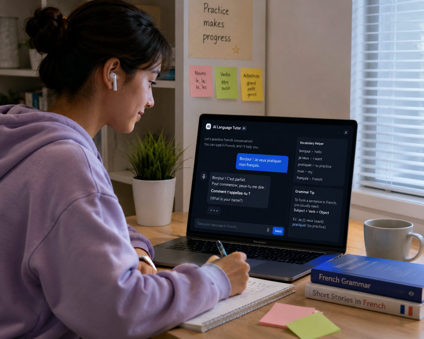
AI-powered language learning improving communication skills.
Learning a new language can be challenging, especially when students lack opportunities for real-life practice. AI tools now provide personalized language coaching and conversation practice.
Students can:- Practice speaking with AI chatbots
- Translate sentences instantly
- Improve pronunciation
- Learn vocabulary faster
- Get grammar corrections in real time
AI language tools help students build confidence by allowing them to practice without fear of
embarrassment.
Popular AI-powered language learning apps can even adapt lessons according to the student’s
progress level.
AI Tools for Business and Economics Students

AI tools helping students analyze business data and market trends.
Business students often deal with case studies, presentations, data analysis, and market research. AI tools can automate much of this work.
Students can use AI to:- Generate business report summaries
- Analyze financial data
- Create marketing content
- Design professional presentations
- Research market trends
AI can also help students understand complex economic theories by providing simplified explanations and visual breakdowns.
AI Tools for Creative Students
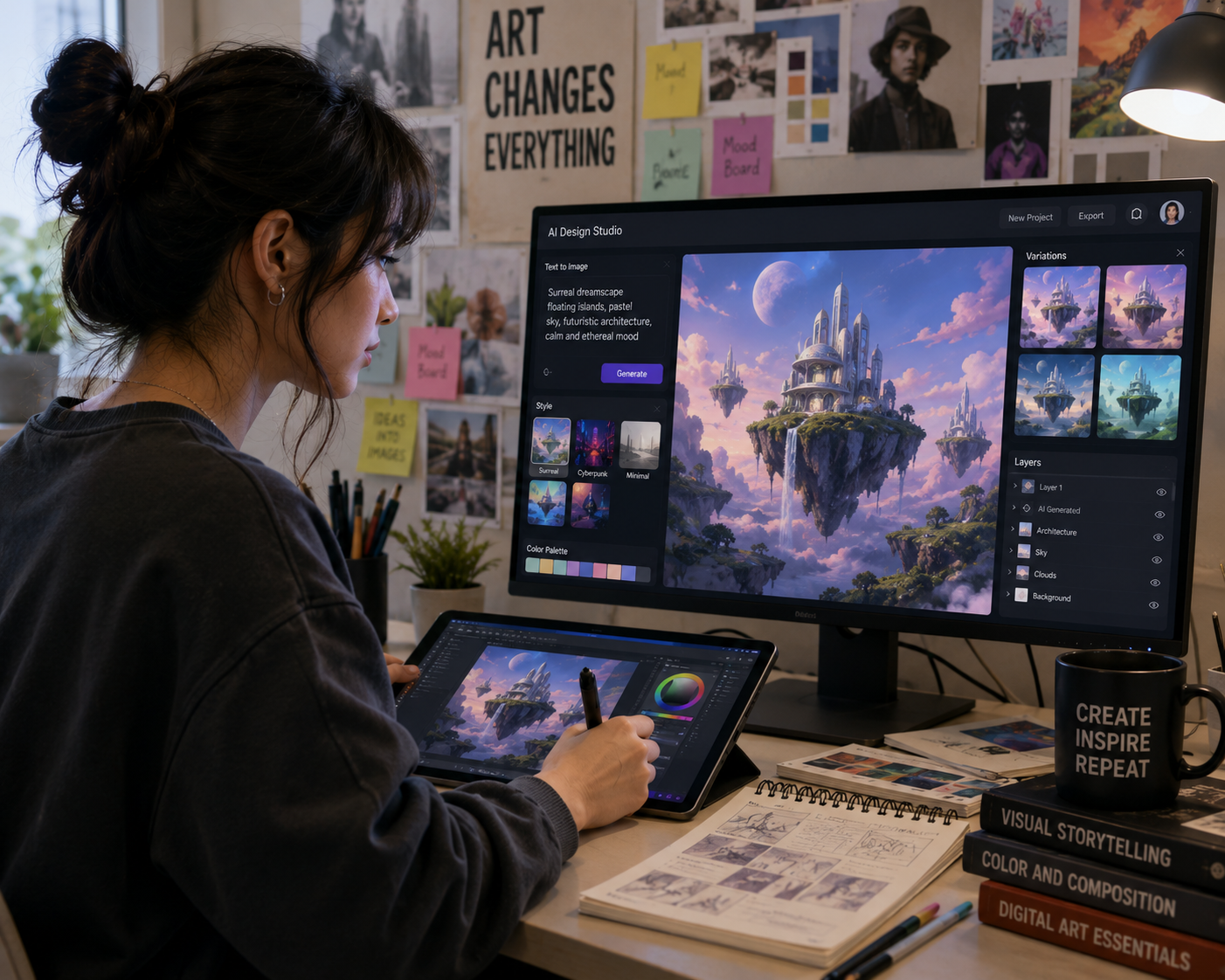
AI tools supporting creativity in art, media, and design education.
Creative students in fields such as graphic design, media, filmmaking, and content creation are benefiting enormously from AI.
AI tools can help with:- Image generation
- Video editing
- Script writing
- Music composition
- Animation assistance
Students can experiment with creative ideas faster than ever before. AI removes technical
barriers, allowing creators to focus more on innovation and storytelling.
However, originality remains important. AI should support creativity, not replace human
imagination.
Advantages of Free AI Tools Compared to Paid Tools
Many students worry that free AI tools may not be powerful enough. Fortunately, several free
versions offer excellent features for academic purposes.
Cost Savings
Students often operate on limited budgets. Free AI tools reduce the need for expensive tutoring
or software subscriptions.
Easy Accessibility
Most AI tools are cloud-based and work on smartphones, tablets, and laptops.
Beginner-Friendly Interfaces
Free tools are designed for easy use, making them suitable even for students with limited
technical knowledge.
Continuous Updates
Many AI platforms regularly improve their free versions with better features and smarter
algorithms.
Although paid plans may provide advanced capabilities, free versions are often more than enough
for school and university tasks.
How Teachers Are Using AI in Education

Teachers integrating AI technology into modern classrooms.
AI is not only helping students but also transforming teaching methods.
Teachers now use AI for:- Automated grading
- Lesson planning
- Student performance analysis
- Interactive classroom activities
- Personalized learning support
AI allows educators to identify students who may need additional support and create customized
learning experiences.
This improves classroom engagement and helps teachers focus more on mentoring rather than
administrative tasks.
Common Mistakes Students Make When Using AI
Despite the benefits, many students misuse AI tools in ways that can harm their learning experience.
Copying AI Content Directly One of the biggest mistakes is submitting AI-generated work without editing or understanding it. This can:
- Lead to plagiarism issues
- Reduce learning
- Damage academic integrity
Trusting Incorrect Information
AI tools are powerful but not always accurate. Students should always verify important facts from reliable sources.
Overdependence on AI
Students who rely too heavily on AI may weaken their critical thinking and problem-solving
abilities
Ignoring Privacy Risks
Students should avoid uploading confidential or sensitive information into AI systems.
Responsible AI usage is essential for long-term academic growth.
The Role of AI in Online Learning

AI enhancing online education and remote learning experiences.
Online learning has grown rapidly, and AI is playing a major role in improving digital
education.
- Recommend personalized courses
- Track student progress
- Provide instant feedback
- Identify learning weaknesses
- Increase engagement through interactive lessons
Students studying remotely can now access high-quality educational support regardless of their
location.
This is especially important in developing regions where access to traditional educational
resources may be limited.
Future AI Trends Students Should Watch
The AI landscape continues to evolve rapidly. Students should stay informed about emerging technologies that may shape future education systems.
AI-Powered Virtual Tutors
Future AI systems may provide fully personalized tutoring experiences available 24/7.
Augmented Reality Learning.
AI combined with augmented reality may create immersive educational experiences where students
can interact with virtual scientific models, historical sites, or engineering simulations.
Smarter Research Assistants
AI research tools will likely become more accurate and capable of analyzing large amounts of academic data instantly.
Career Guidance AI
Future AI tools may help students choose careers based on skills, interests, and academic
strengths.
Students who become comfortable using AI today will likely gain valuable career advantages
tomorrow.
Artificial Intelligence is no longer a futuristic idea—it is already changing education around the world. Students now have access to tools that can improve learning speed, boost productivity, and simplify difficult academic tasks.
The best free AI tools for students provide support in:
- Writing
- Research
- Mathematics
- Coding
- Presentations
- Language learning
- Organization